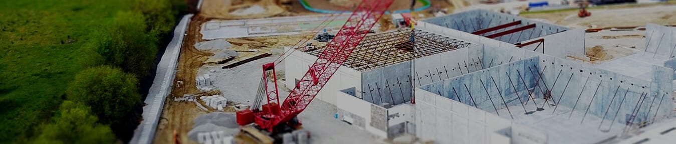
Architecture & Engineering
 Matterport 3D scans and creates an immersive 3D model that architects and engineers can access from anywhere. One photoshoot captures both 2D photography and 3D dimensional data. From there, Matterport technology stitches them into a complete immersive 3D model. Annotate, share and export the point cloud to Autodesk, ReCap® or Revit®.
With access from anywhere, collaborators can use Matterport for a visual punchlist of tasks to be completed. You can scan the same job site at different phases of construction to show progress over time for documentation. Matterport 3D scans are faster and more accurate than laser scans. No need to set up registration markers, no manual alignments and no leveling required.
- Take simple measurements in metric or imperial units.
- Measure remotely — no need for a return site visit just to measure.
- Measure dimensions of objects, rooms, or even the entire job site.
- Measurements are accurate to within 1% of reality.
- Workshop measurements are made on the 3D mesh. You can also download the point cloud and measure in ReCap.
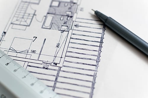
Visuals From Floor to Ceiling
Matterport’s exclusive dollhouse view shows how a property fits together. No other camera can create a stunning Dollhouse views on-demand. From this view, you can see the entire property from any angle and see the scale of the entire site in relation to all its parts.
Floorplan views help you understand the site’s layout. The floorplan feature allows you to place tags in your 3D Showcase to highlight desired features. This is helpful for architects who want to give clients the understanding of how furniture and design elements will fit in the space.
The reflected ceiling view gives a high-resolution visual of everything in the ceiling. Engineers and architects can see ventilation shafts, wiring, plumbing, insulation, and more. When combined with the high-resolution floor plan, building planners have a quick top-down view of the job site and everything inside it. Use these images in AutoCAD as a tracing element or open in Maya, 3ds Max, or other 3D software.
No Software Installation
Matterport technology manages all your 3D models and lets you easily share with stakeholders and team members. There is no software to install. The data is all uploaded to the Matterport cloud. Once access to Matterport cloud is shared, you can explore the site in 3D from your desktop or mobile device. Matterport is ideal for architects and engineers that modify, build and construct real-world spaces.
Replace thousands of construction photos with a single Matterport file. The 3D model adds real-world context and dimensions to your construction’s progress.
Easy as 1, 2, 3
- Hire a Circleshots Photographer to scan your job site: Each 360° sweep takes less than a minute.
- Upload to Your Site: With one click, upload your data to the cloud.
- Share Your Site: Share a link and stakeholders can explore the 3D Space right from their web browser.
Scanning of a 5000 square foot site takes about an hour. No need to set up registration markers, no manual alignments and no leveling required. Your data is uploaded to the cloud with one click. Your 2D and 3D data is aligned and stitched into a complete textured mesh. From there you can annotate, share and track milestones. A link to your 3D scan can be shared with stakeholders and they can explore your site from anywhere. You can even export assets and continue working in software, such as Autodesk, ReCap® or Revit®.
Find out more how Circleshots can scan your job site and create a 3D model.